The Best River Photo Spots around Mer Bleue Bog Trail in Canada
Explore River pictures of Mer Bleue Bog Trail with the travel spots on a map
Download the Travel Map of Canada on Google Maps here
6 River Spots of Mer Bleue Bog Trail on a Map
Pictures of River on the interacive map of Mer Bleue Bog Trail
Download On Google Maps 🗺️📲River Spots and Pictures around Mer Bleue Bog Trail
Discover popular destinations in Mer Bleue Bog Trail with their travel guides
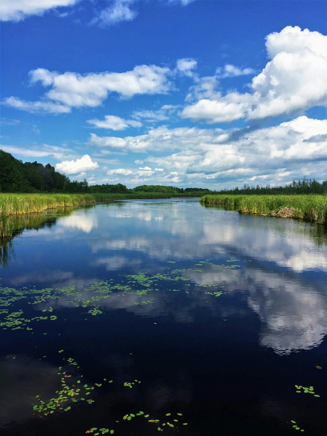
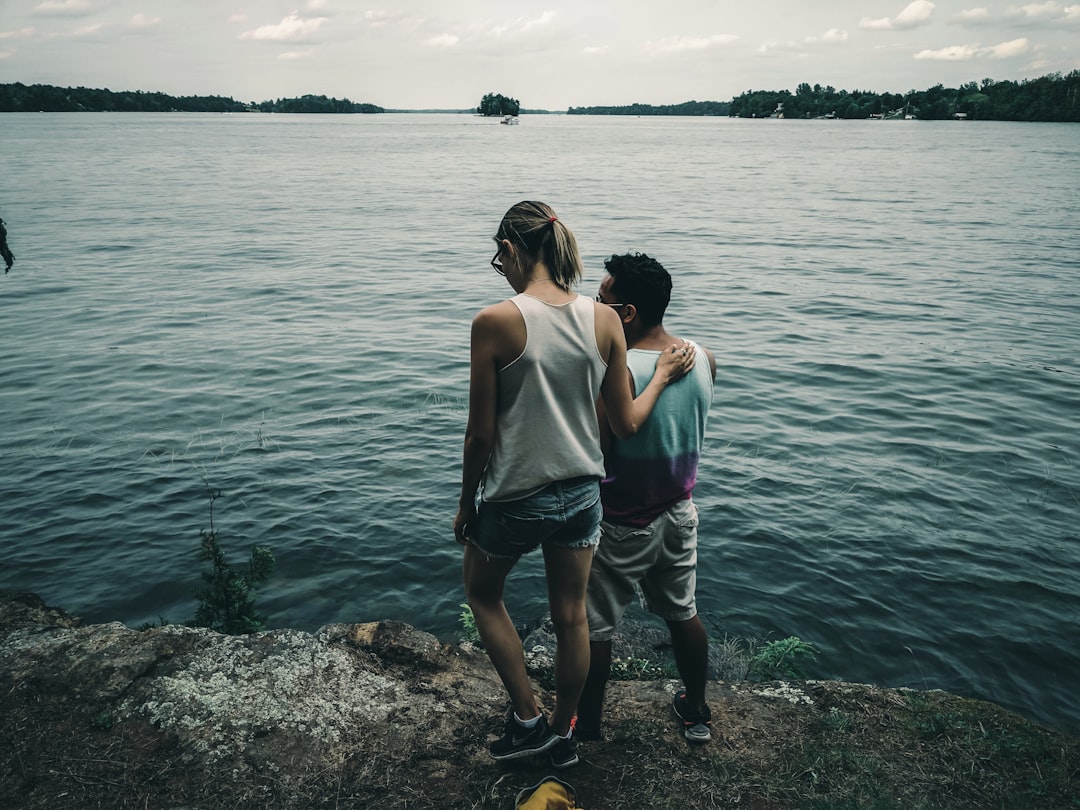
Mer Bleue Bog Trail
Read the Travel guide View on Google Maps
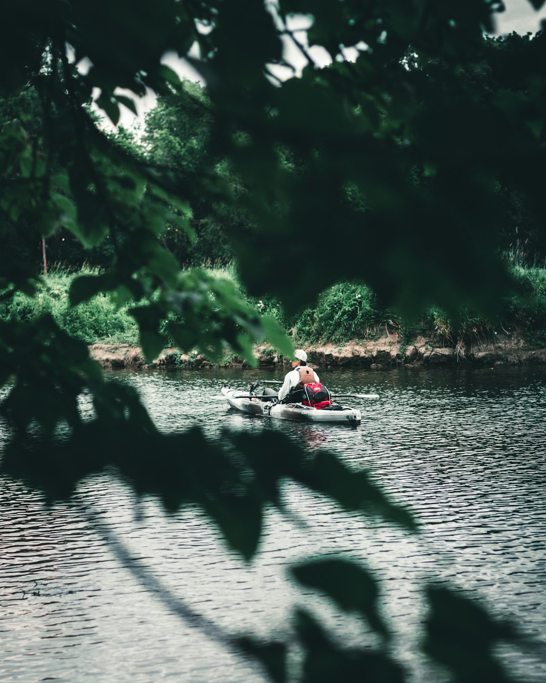
Mer Bleue
1 km away from Mer Bleue Bog Trail
Read the Travel guide View on Google Maps
Ottawa
15 km away from Mer Bleue Bog Trail
Read the Travel guide View on Google Maps
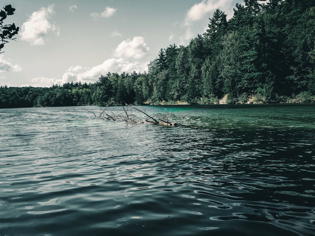
Pink Lake
24 km away from Mer Bleue Bog Trail
Read the Travel guide View on Google Maps
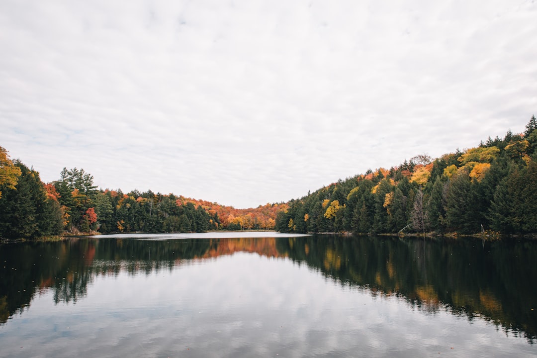
Chelsea
32 km away from Mer Bleue Bog Trail
Read the Travel guide View on Google Maps
Murphys Point Provincial Park
89 km away from Mer Bleue Bog Trail
Read the Travel guide View on Google Maps
Book your Travel Experience in Mer Bleue Bog Trail
Discover the best tours and activities in Mer Bleue Bog Trail and book your travel experience today with our booking partners
Learn More about Mer Bleue Bog Trail
Find Hotels in Mer Bleue Bog Trail
Discover the best hotels around Mer Bleue Bog Trail, Canada and book your stay today with our booking partner booking.com